UK Braces for Downpours and Thunderstorms Amidst Severe Drought
Record dry spell gives way to unsettled weather, with widespread rain expected from Wednesday and potential for significant temperature shifts.
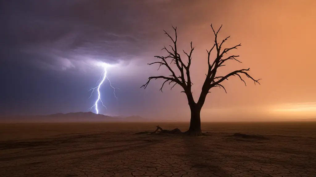
Image: Eddie Pollard / AI

Carla Rooney
The UK faces imminent downpours and thunderstorms following months of severe drought.
Initial rainfall will not be substantial, the Met Office states, remaining 'highly hit and miss from place to place.'
Widespread, persistent rain is forecast to arrive from the south starting Wednesday, with showery conditions potentially returning by Tuesday.
Unsettled weather, longer spells of rain, and a chance of thunderstorms are expected as August draws to an end, the Met Office claims.
Thunderstorms could also hit Manchester and Newcastle on Sunday afternoon, according to Met Office claims.
Despite the impending rain, temperatures are set to remain in the mid to low 20C for most of the UK over the week; London is predicted to reach 26C on Thursday.
Temperatures are unlikely to reach heatwave thresholds again before the end of August, though warm and hot spells remain possible.
These will likely be short-lived, with temperatures sitting near average, the Met Office claims.
By July 15 this year, the UK had already recorded more days above 30C than in the entirety of 1976.
Seven reservoirs in England are classified as having 'exceptionally low' storage levels.
Aquifers and groundwater stores have shown resilience during the current drought, with only 23% of surveyed sites showing notably low levels.
An El Niño event is forecast to impact global rainfall patterns and temperatures, with sea temperatures in the tropical eastern Pacific expected to rise significantly.
Towards the end of September, the Met Office suggests hot spells could emerge in the South of England.
By Bank Holiday weekend, showers and longer spells of rain are expected to hit many parts of the UK, along with some strong winds.