UK Braces for Dramatic Temperature Plunge Following Heatwave
A significant weather shift is anticipated next week, with forecasts indicating a sharp drop from current highs to unseasonably cold conditions across the nation.
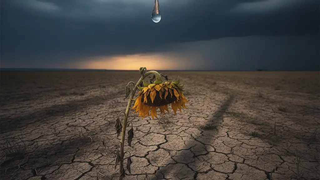
Image: Eddie Pollard / AI

Sarah Connor
The United Kingdom is poised for a dramatic weather reversal, with current highs of 35C expected to give way to unseasonably cold temperatures by early August.
The GFS weather model forecasts a substantial drop in temperatures on Tuesday and Wednesday of next week, with anomaly maps showing deep blue across the UK, indicating conditions starkly contrasting the current warmth.
More than 200 areas in the UK will experience temperatures below 10C on Sunday, August 2. This chill spreads across much of the country that Sunday morning.
Specifically, 204 council areas in England, Scotland, Wales, and Northern Ireland will see temperatures drop into single-figures Celsius. The Met Office expects changeable conditions from next week.
Low pressure could move near or across the UK early in August. This system brings heavy rain and strong winds, further contributing to the dramatic shift.
On Tuesday, potential highs of just 16C are forecast for the south-east of England at midday. South Wales and the Midlands will see around 14C.
Northern Ireland expects to reach 12C. Temperatures could plummet as low as 7C in northern parts of Scotland.
The warmest region in the afternoon on Tuesday projects to be the far south-west, at just 19C. The mercury potentially drops as low as 9C in northern England.
Conditions show little improvement on Wednesday. Northern Scotland faces 6C at midday.
Northern England could see 8C, Northern Ireland expects 9C, and the south-east of England just 14C.
Afternoon temperatures on Wednesday drop further. The south-east reaches 13C and the Midlands 11C.