Thunderstorms Hit London Amid Drought Conditions
Met Office issues yellow warning for capital as heavy rain and potential flash flooding follow driest July on record.
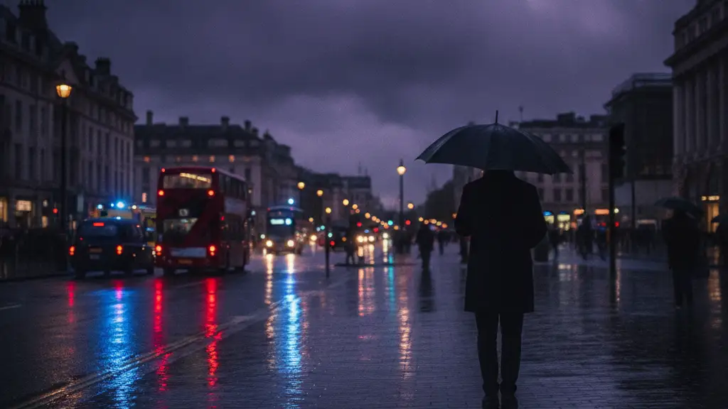
Image: Eddie Pollard / AI

Sarah Connor
London is under a Met Office yellow warning for thunderstorms today, bringing a sharp contrast to recent drought conditions.
The widespread drought demands a hosepipe ban across the capital. Parks across the city show significant drying.
Last month marked England's driest July on record. Rivers and reservoirs are running low, with some areas enduring two months without rain.
Seven reservoirs in England now register 'exceptionally low' storage levels. This situation precedes an anticipated band of heavy showers and thunderstorms.
A first warning for south-east England began at 02:00 BST; a second extended to a wider area of England and Wales from 06:00 BST. Both warnings remain valid until 22:00 BST.
Large hail, lightning, and gusty winds are expected to accompany these showers. Lightning and hail measuring 1-2cm are specifically anticipated to be dangerous.
Potential impacts include surface water flooding, difficult driving conditions, and road closures. Delays and cancellations to public transport, power cuts, and loss of other services are also understood to be possible.
Forecasters at the Met Office had predicted a band of heavy showers and thunderstorms hitting the capital on Wednesday morning, with further stormy weather expected in the afternoon. However, current weather forecasts for Wednesday predict rain showers during parts of the day, but not thundery downpours.
The wet weather will be welcome news for large areas of England and Wales that remain in drought. However, an increased risk of flash flooding exists where the ground is very dry and hard, the Met Office claims.
Experts warn that not enough rain will fall to alleviate the recent dry spell. Months of persistent wet weather are needed to replenish water supplies, they state.
Met Office indicated that The UK is on course for its hottest summer on record. Forecasters have warned of more storms and rain this autumn and winter due to an 'unprecedented' El Niño event.
Separately, five flood alerts are in place for specific watercourses and tributaries in Loughborough, Nottinghamshire, and Leicester City. The Met Office's amber warning for an area of England stretching from London to Sheffield, covering parts of the South East, East of England, West Midlands and South Yorkshire, is understood to be in place from 9am to midnight on Thursday.
Spells of rain and windy conditions are expected over the upcoming bank holiday weekend for England, Wales, and Northern Ireland. Temperatures over the weekend will range from 16C (61F) in northern Scotland to 23C (73F) in southern England.
The Met Office has previously stated the UK is on course for its hottest summer on record. Forecasters have warned of more storms and rain this autumn and winter due to an 'unprecedented' El Niño event.
El Niño is declared when sea temperatures in the tropical eastern Pacific rise 0.5C above the long-term average. The natural warming of sea temperatures is forecast to reach more than 3C in the coming months.